Pembrokeshire County Council
Postcode / Street Name
A
B
C
D
E
F
G
H
I
J
K
L
M
N
O
P
Q
R
S
T
U
V
W
X
Y
Z
Login
|
Register
|
Accessibility
Login
|
Register
|
Accessibility
Postcode / Street Name
Accessibility
Login
|
Register
Postcode / Street Name
A to Z of Services
A
B
C
D
E
F
G
H
I
J
K
L
M
N
O
P
Q
R
S
T
U
V
W
X
Y
Z
>
Home
>
Planning & Building Control
>
Local Development Plan
>
Adopted Local Development Plan.
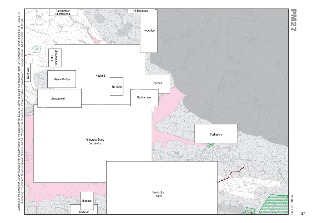
Adopted Local Development Plan - Proposal Map 27
Click on a named area on the map below to view the inset map.
Download Proposal Map 27 (PDF Document)